
Boasting incredible views over the south of Mauritius, Piton Savanne is an easy/moderate hiking trail in the Black River Gorges. Another great thing about it is that it’s one of the best places in Mauritius to spot the rare Pink Pigeons.
The initial section of the trail is relatively easy since it’s mostly flat, but it becomes slightly steeper as you get closer to the summit.
Despite of that, the hike is still accessible to beginners. Another thing to note is that there isn’t much shade along the trail, so it’s best to start early.
This guide to hiking Piton Savanne in Mauritius includes everything you need to know from how to get there, what to expect during the hike and other helpful tips.

***This article may contain affiliate links, meaning each time you click through and make a purchase, I earn a small commission at no extra cost to you which helps a lot in keeping this website running. Thank you for your support :)
Where is Piton Savanne?
Piton Savanne is located in the Black River Gorges National Park, about 3.5 km from the Petrin Information Center or 3.2 km from Alexandra Falls.
You can find the exact location of the trailhead by clicking here.
You’ll need to rent a car to get there since there are no buses that serve this route. As you get to the trailhead, you’ll find a dirt road leading to a large metal gate.
There isn’t a designated parking lot but you can leave your car near the gate.
Related post: Guide to the best hiking trails in Black River Gorges
Piton Savanne Hiking Trail
Below are some quick facts about the Piton Savanne hike:
- Distance: About 3 km (one way)
- Duration: 1.5 hours (one way)
- Difficulty: Easy/moderate
- Height: 715 meters
The Piton Savanne hiking trail starts at a big metal gate which is kept closed most of the time.
If you’re unsure about whether or not you can enter, just ask the staff who work at the Petrin Information Center.
That’s what I did during my recent visit and I was told that the trail was open. The gate won’t be locked so you can just go through.
Note: I think the trail might be closed off to the public during the hunting season, so make sure to inquire beforehand at the Petrin Information Center.
Need a guide? Book your guided hike of the Black River Gorges here

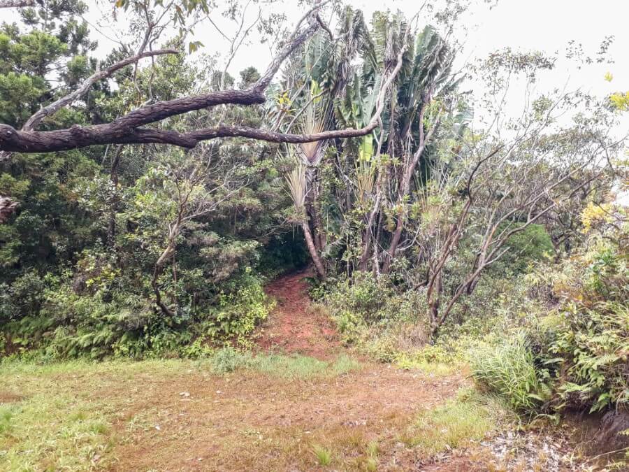
The first half of the hike is quite easy as the path is mostly flat. It’s can be extremely muddy though so good hiking shoes are a must.
As you enter through the gate, you’ll notice a building immediately on your left.
Make your way along the trail until you see the telecom tower on your right and further ahead you’ll arrive at an intersection.
Turn left here. The trail goes slightly downhill until you get to another intersection.
You can turn right to admire the panoramic view over La Vallée des Couleurs or continue toward the summit by turning left.
Keep going until you reach another intersection. Make your way straight ahead towards a narrow steep path. Be careful as this section is quite slippery.
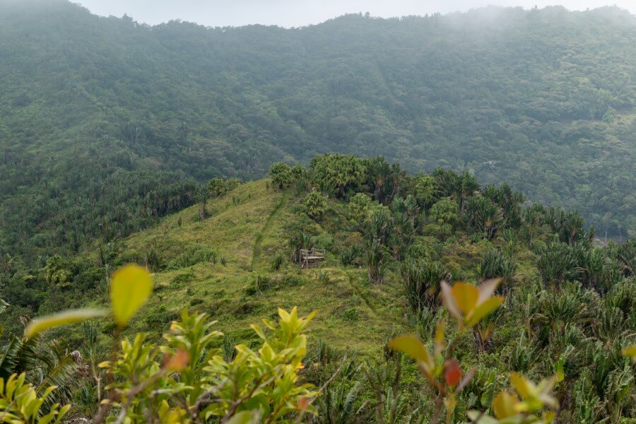
About 15 minutes later, you’ll arrive at a lookout stand. Keep going until you find a narrow path on your right leading to another lookout stand.
This one offers the perfect vantage point over the south coast and the 23 colored earth of La Vallée des Couleurs.

After enjoying the view, head back to the main trail and continue toward the summit.
The hike then becomes more challenging as the path becomes very steep. Make sure to hold on to the trees to avoid slipping in the mud.
At one point, the path becomes quite narrow and you’ll have to squeeze through some huge boulders until you reach the final intersection.
Turn left here and you should reach the summit in less than 10 minutes.
Once you reach the summit, you’ll get a 360-degree view of the national park and south coast. The weather was cloudy during my visit but the view was still beautiful.

For the exact directions, you can download the maps.me app and search for “Piton Savanne trail”.
Related post: Mauritius hiking guide: 29 top hikes to do
Where to stay in Mauritius?
Hotel Chalets Chamarel
Hotel Chalets Chamarel is located in one of the most incredible settings with panoramic views overlooking Le Morne and the southwest coast.
Each chalet is beautifully furnished and features a private balcony where you can enjoy both the sunrise and sunset. The location is ideal, about a 30-40 minute drive from the trailhead.
Click here to book your stay at Hotel Chalets Chamarel here
I hope you found this guide to hiking Piton Savanne helpful. If you have any questions, feel free to ask in the comment section below.

Read more about hiking in Mauritius:
- Guide to visiting the Black River National Park
- Mauritius waterfall guide: 18 best waterfalls to visit on the island
- 29 top hikes do to on Mauritius Island
- How to visit Alexandra Falls
- How to visit Cascade 500 Pieds
- How to hike Piton de la Petite Rivière Noire
- How to hike Corps de Garde Mountain
- Hiking Lion Mountain in Mauritius
- Hiking Le Morne Brabant in Mauritius
- Le Pouce Mountain hiking guide